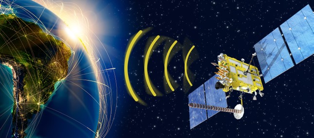
Satellite imagery can be accessed in several different ways, depending on the application used.
For example, Google Earth Pro is an easy-to-use program that allows users to access satellite imagery from anywhere in the world.
optimizeapp.com
NASA also offers a variety of free web mapping applications, such as the World Wind and Earth Observation System Data Information System (EOSDIS).
Additionally, commercial providers such as DigitalGlobe and Esri offer high-resolution satellite imagery for purchase.
More specialized applications such as ERDAS Imagine, ArcGIS Pro and ENVI allow users to perform more complex analyzes of satellite images by combining them with other GIS data or remote sensing datasets.
Last but not least, some satellites are equipped with sensors that allow users to access real-time information directly from the space platform itself.
Types of Satellite Images
There are several types of satellite that a person can access through an app.
Optical satellite imagery captures visible light, such as being able to see the natural landscape and even different land covers such as snow and vegetation.
Infrared thermal imaging captures the heat generated by the Earth's surface, which is useful for understanding various temperatures of water bodies or land surfaces.
Synthetic Aperture Radar (SAR) imaging uses radar waves to measure objects on the Earth's surface and can penetrate clouds, making it an indispensable tool for assessing disasters such as floods or landslides.
Finally, Digital Elevation Models (DEMs) are 3-D representations of terrain elevation constructed from satellite images superimposed with elevations calculated from stereo pairs taken at different angles.
With these types of satellite images available through an app, users can easily access detailed information about the terrain and features of our planet whenever they want.
Applications to access
Google Earth is one of the most popular applications for accessing satellites. It provides high-resolution aerial and satellite imagery of locations around the world, allowing users to zoom in for detailed views.
Google Earth also includes 3D building and terrain features, so you can explore places from a unique perspective.
You can even add your own content to Google Earth by sharing personalized maps and directions with friends, family or colleagues.
The European Space Agency's Copernicus Open Access Hub is another app that allows users to access a variety.
The platform provides quick access to Sentinel satellite data, including radar, optics and surface products at no cost.
The interface also allows users to filter images by resolution or capture date, as well as download specific files directly from the site.
Finally, SatSearch is an online search engine specifically designed to quickly locate satellite imagery providers around the world.
Users can search thousands of providers that offer various types of images depending on their needs, such as panchromatic, multispectral or hyperspectral datasets, useful for many research projects or applications related to agriculture and forestry, for example.

