
When it comes to measuring land, modern technology offers a number of innovative tools that can significantly facilitate the work of surveyors, architects, engineers and other professionals dealing with land measurement.
Three apps that stand out in this field are Land Area Calculator, GPS Fields Area Measure, and Measure Map.
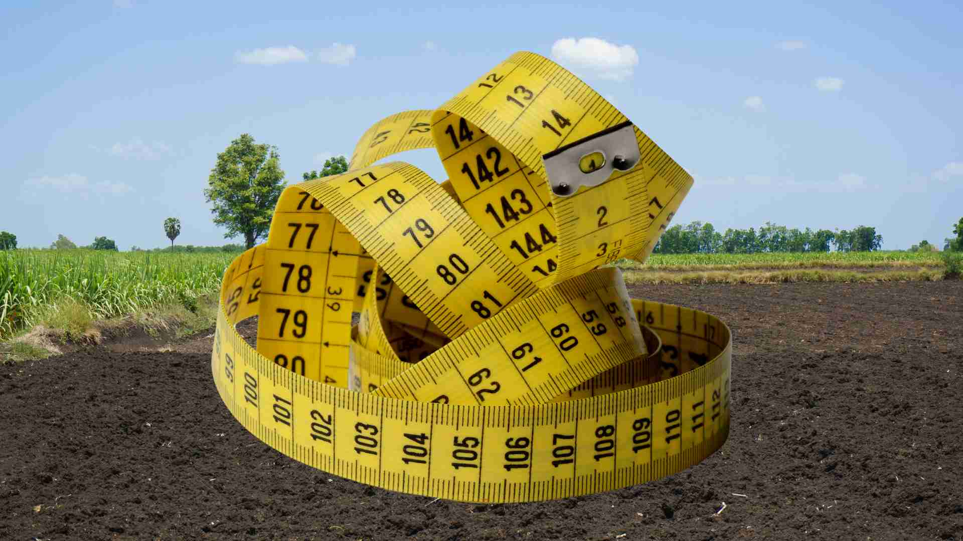
Recommended content
REAL ESTATE FINANCING – LEARN ALL THE SECRETSThese apps provide convenient and accurate ways to measure land, offering valuable features ranging from area calculations to GPS data collection.
Land Area Calculator App
The first app that deserves to be highlighted is the Land Area Calculator. This app is popular for its ease of use and accuracy in measuring land.
Upon opening the app, users are presented with an interactive map that can be customized to display the area they want to measure. Users can define the perimeter points of the land simply by tapping on the screen or entering GPS coordinates.
The application then automatically calculates the area, perimeter and other data related to the selected terrain.
The Land Area Calculator also offers additional features that make it a complete tool for land measurements.
For example, users can save and share measurement results with other members of their teams or clients, facilitating communication and project planning.
The application supports multiple measurement units such as square meters, hectares, and acres to adapt to different work needs.
Another interesting feature is the possibility of importing and exporting data in different formats, such as KML and CSV, for integration with other work platforms or geographic information management systems.
This facilitates collaboration between professionals using different tools and makes the application a versatile choice for a variety of projects.
GPS Fields App – Measure Land
GPS Fields Area Measure is another application that has stood out in the market for its accuracy and ease of use. With an intuitive interface, the application allows users to measure land quickly and efficiently.
It is especially useful for those working in agriculture or land management, as it provides a simple way to measure agricultural fields and obtain information about the properties of a land.
One of the main advantages of GPS Fields Area Measure is its ability to work offline. Users can download maps of specific areas for later use, even when they are not connected to the internet.
This is especially useful for professionals working in remote areas or regions with poor network coverage.
The app offers features for marking points of interest and reference lines, which can be useful for planning routes or identifying specific terrain features.
For example, a farmer can use these tools to mark areas where he should apply fertilizer or identify areas that need additional irrigation.
Users can review past measurements and compare data over time, which can be useful for monitoring changes in terrain properties or tracking the progress of a project.
Measure Map App
The third app worth mentioning is Measure Map, a powerful tool for measuring land accurately and easily.
Measure Map stands out for its intuitive interface and ability to offer precise measurements of areas, perimeters and distances.
With this app, users can define the perimeter points of a plot of land by tapping on the device's screen or entering GPS coordinates. Once the points are defined, the app automatically calculates the desired measurements.
Measure Map also allows users to store and share their measurements with others. This makes it easier to collaborate on projects and communicate between professionals from different fields.
The application supports multiple units of measurement, allowing users to choose the most suitable unit for their work needs.
An additional feature that Measure Map offers is the ability to save multiple measurements in a single project. This is particularly useful for those working with complex terrains that require measurements in different parts of the site.
Users can organize their measurements into specific projects, making it easier to track progress and manage multiple areas simultaneously.