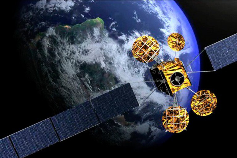
Real-time Satellite application
Real-time satellite imagery offers many benefits to its users. For one, it can be used to monitor and analyze natural disasters such as hurricanes, floods or fires in order to provide more accurate information about the situation and help guide response efforts. APPLICATION TO ACCESS SATELLITE IMAGERY optimizeapp.com … Read more

