Application to turn photos into drawings
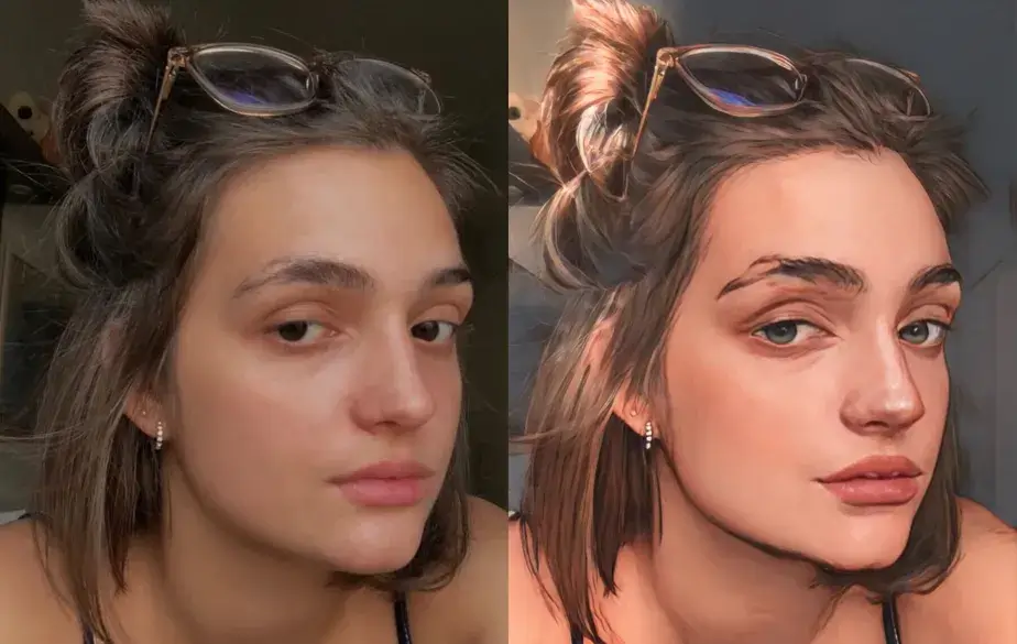
I'm sure you've tried to turn one of your photos into a drawing but you couldn't and ended up giving up easily. For many people this seems like a very difficult task, but with the right tools, no task is that difficult. There are some applications that have been developed that can turn your photos into drawings... Read more